
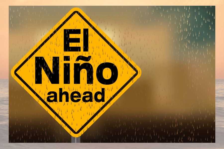
El Nino is Calling
Fall is a time for pumpkin paloozas, sweaters and spectacular foliage.
It’s also peak season for nor’easters that bring dangerous winds, high tides, heavy rains, flooding, coastal erosion and chaos. Last weekend the New Jersey coastline along with Long Beach Island, NJ got slammed with the first fall nor’easter of 2026.
Weather induced PTSD at the Jersey shore right now is a very real thing.
The storm sent scientists and weather experts scrambling for information even before it hit. Dr. John Krasting, Rutgers Professor and New Jersey State Climatologist said he and his colleagues spent a very busy week beforehand gearing up for the storm.
“Our scientists were caught up in preparations either for analyzing the nor’easter or battening down the hatches at their research facilities,” he said. “My office has been compiling statistics on this storm and the record-breaking flooding event unfolding along the Jersey shore.”
Luckily the worst of this fall storm and the causation effects of El Nino are behind us. Looking ahead, however, may turn out to be a different story. Is there reason to worry about an El Nino winter and if so, what could be in store for Long Beach Island, NJ? Anthony J. Broccoli, Professor of Atmospheric Science at Rutgers University and Joe Martucci, President and Director of Meteorology at Cup A Joe Weather and Drone made time to speak with Coastal Living LBI to give us some answers.

COASTAL LIVING LBI: Dr. Broccoli, a full moon and the highest tides of the month for the East Coast created a perfect storm for this weekend’s weather event called a nor’easter. El Nino is a climate pattern that influences the weather. Should we assume El Nino was responsible for causing this storm?
BROCCOLI: We often hear questions about extreme weather events framed in terms of some overarching phenomenon causing that event. That framing is not ideal. A better framing in the case of this weekend’s coastal storm is to ask if El Nino influenced its probability of occurring.
Assuming an El Nino winter is in the forecast, what would it look like for the East Coast and for Long Beach Island, NJ?
BROCCOLI: We know that El Nino winters are often accompanied by more frequent storms along the east coast of the United States. This happens because the warmer waters in the eastern tropical Pacific Ocean influence the pattern of winds in the upper atmosphere in such a way that favors storm development and steers them close to the coast. Although it’s only late September, it is possible that El Nino is setting the stage for an active east coast storm track.

COASTAL LIVING LBI: Mr. Martucci, do you feel we’ve seen the worst of the effects of El Nino on Long Beach Island, NJ or is there more to come?
MARTUCCI: At this point, the only El Nino question left is whether this winter will have a very strong El Nino or a record setting one. Records go back to 1950 with the National Oceanic and Atmospheric Administration (NOAA) and there is a 70% chance of reaching that record by the end of the year.
With that in mind, what’s in your forecast for the Long Beach Island, NJ area this winter?
MARTUCCI: For Long Beach Island, this means two things for our winter forecast: Very mild temperatures and more tidal flooding than usual. Ten consecutive high tides reached flood stages at the Barnegat Light tide gauge in September, including the highest tide of the decade on Sept. 27. We should expect more streets filled with salt water, more of the Route 72 bridge being closed and beach erosion.
Tidal flooding aside, a strong tropical jet stream from the Pacific Ocean will be the dominate weather player. Expect to have more high temperatures in the 50s during the winter, with nights staying above freezing. This will not be like the icy winter last season. During very strong El Nino seasons, the average December to February temperature is four degrees milder than a strong El Nino or no El Nino at all.
So should we be expecting to see any snow this winter? If so, how much?
MARTUCCI: This will be a boom or bust type of winter, leaning toward the busty, snowless side. While there will be more than the usual number of storms, most of them will take place with temperatures in the 40s and 50s. That means rain. However, it’s still winter in the Northeast. If the infrequent cold air expected can link up with one of these storms, a big snow is likely, similar to what happened last winter.
Contact Information
Anthony J. Broccoli
Distinguished Professor of Atmospheric Science
Director, Graduate Program in Atmospheric Science
Department of Environmental Sciences
Rutgers University
14 College Farm Road, New Brunswick, NJ 08901-8551
phone: +1-848-932-5749
email: br******@************rs.edu
http://www.envsci.rutgers.edu/~broccoli
Joe Martucci
President/Director of Meteorology
Cup A Joe Weather and Drone
Phone: 732-612-9982
Email: jo*@*****oe.live
www.cupajoe.live
Instagram: @joemartwx